
Mount Evans Wilderness
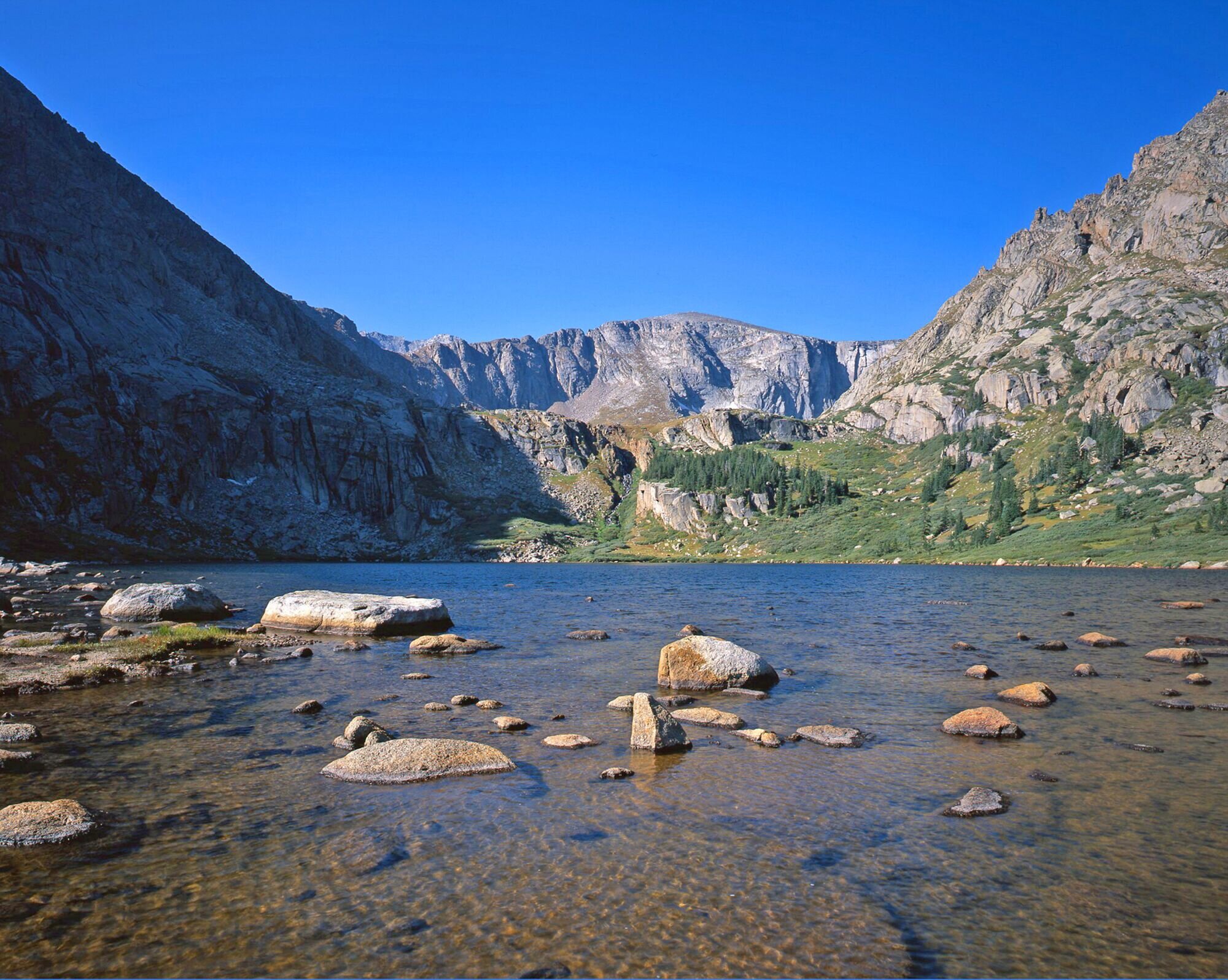
Photo by John Fielder
The Mount Evans Wilderness is located approximately 30 miles west of Denver. One of its more unique features is the Mount Blue Sky Scenic Byway (Colorado 5) which forms a non-wilderness corridor to the top of Mount Blue Sky in the center of the Wilderness. The road, two fourteen thousand foot peaks (Mt. Blue Sky at 14,264 feet and Mt. Bierstadt at 14,060 feet), and close proximity to metropolitan Denver has resulted in an area with relatively heavy use most of the year.
Despite the likelihood of running into people, the area offers several unique features worthy of a visit. The Wilderness contains small regions of arctic tundra, which are rare south of the Arctic Circle. Unlike typical Colorado alpine tundra, which is dry and brittle once the snow recedes, arctic tundra holds numerous small pools of water. Ancient 2,000 year old Bristlecone pines, bighorn sheep, and mountain goats are common sights. The Wilderness is characterized by classic glacial landforms, with steep headwalls forming cirques and classic U-shaped valleys holding strings of alpine lakes. Moraines of glacial debris mark the edges and ends of where the ancient glaciers lay. Approximately 120 miles of trails provide access to the Wilderness. For more on the Mount Evans Wilderness, visit Wilderness.net.
MOUNT EVANS WILDERNESS TRAILS
HISTORY OF MOUNT Blue Sky
Mount Blue Sky was originally named Mount Evans for John Evans, for Colorado's second territorial governor. Neighboring Mount Bierstadt was named for Albert Bierstadt, a well-known painter of landscapes of the American west in the latter half of the 1800s. He originally named the mountain for his wife, Rosalie, but it was later renamed Mount Evans in 1870 and a nearby 13,575' summit was named Mount Rosalie.
Because of the association of John Evans with the 1864 Sand Creek Massacre, the name was changed again in 2023 to Mount Blue Sky.
Special protection for the Mount Blue Sky area began January 11, 1956, with the designation of the approximately 5,880-acre Abyss Lake Scenic Area under the precursor of the Wilderness Act, the "U-Regulations" of 1939. This was followed in 1980 by the creation of the Mount Evans Wilderness under the Colorado Wilderness Act.
MANAGEMENT
The 74,400-acre Mount Evans Wilderness lies on the South Platte Ranger District of the Pike National Forest (approximately 34,130 acres) and the Clear Creek Ranger District of the Arapaho National Forest (approximately 40,270 acres). In 1994, an agreement was made between the two districts to manage the Wilderness as a single unit, with the South Platte District as the lead district, coordinating with the Clear Creek District in all management decisions.
AVAILABLE MAPS
The following maps cover the Mount Evans Wilderness and can be purchased at many area stores:
NATIONAL FOREST MAPS:
Arapaho National Forest
Pike National Forest
NATIONAL GEOGRAPHIC/TRAILS ILLUSTRATED:
#104 Idaho Springs, Georgetown, Loveland Pass
USGS 7.5 MINUTE QUADRANGLES:
Georgetown
Harris Park
Idaho Springs
Meridian Hill
Mount Evans
Mount Logan
Shawnee